Bihar Faces Monsoon Fury: IMD Issues High-Alert for Key Districts
The monsoon season is set to arrive in Bihar with full force, and it’s not pulling any punches. The India Meteorological Department (IMD) has sounded the alarm for Bhagalpur, Katihar, and Kishanganj districts—these regions are staring down the barrel of Bihar rain alert warnings, with forecasts signaling heavy to very heavy rainfall through the end of May. This surge of rain isn’t just an isolated cloudburst; it’s part of a much broader weather shake-up sweeping across the eastern and northern parts of India.
So, what’s pushing these districts into the spotlight? It all starts in the skies above the Bay of Bengal. A deep depression has morphed into a cyclonic storm, creating unstable conditions across eastern India. When this system combines forces with Western Disturbances drifting over northern India, the result is a recipe for not just heavy downpours, but also thunderstorms and swirling, gusty winds. Residents in these high-alert districts—Bhagalpur, Katihar, and Kishanganj—are being told to expect the worst between May 29 and May 30, with the possibility of waterlogged streets, sudden floods, and general chaos caused by relentless rain. The IMD has gone as far as extending weather warnings to May 31 in some places, depending on how quickly the monsoon pushes northward.
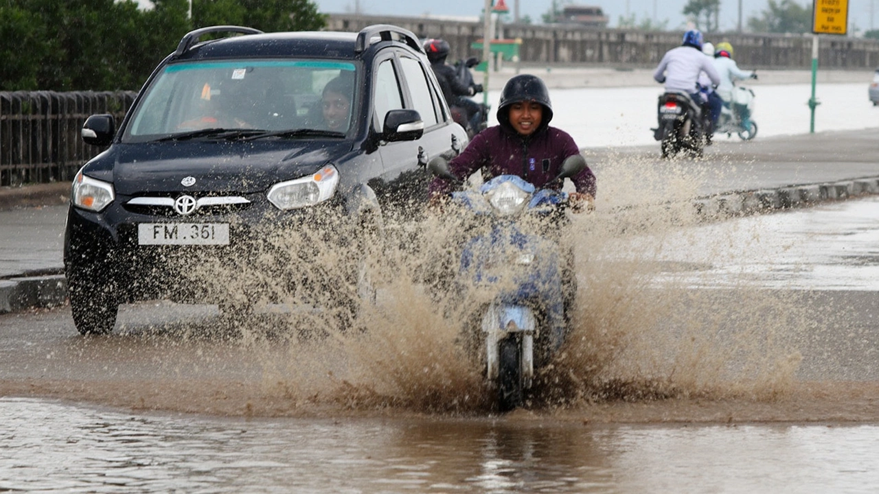
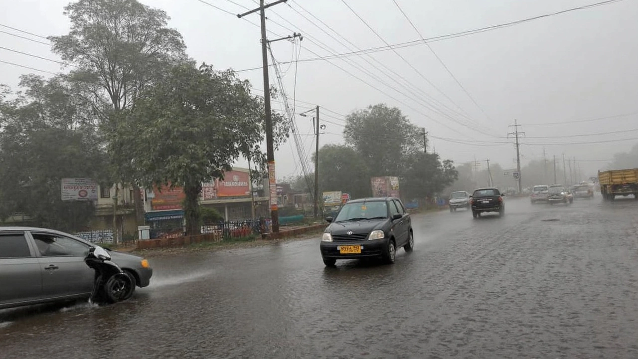
Even as these three districts grab the headlines, the rest of Bihar isn’t exactly in the clear. Several other regions have orange and yellow alerts flying for thunderstorms and strong winds. Urban neighborhoods and low-lying areas are especially vulnerable, while those living along riverbanks or hilly zones might see flash floods or even landslides if rainfall gets too intense.
Risks Stack Up: Floods, Landslides, and Urban Waterlogging
If you’re in Bhagalpur, Katihar, or Kishanganj, this isn’t the kind of rain you can ignore. Local authorities are urging vigilance, especially for people living in ground-floor homes, crowded neighborhoods, or any area with poor drainage. Urban flooding, which has turned cities like Patna into temporary lakes in past years, is a very real possibility. For folks in the hills or near riverbanks, landslides and sudden water surges could arrive with little warning. The IMD’s advisories are clear: unplug electronics, stay away from unstable water bodies, and check weather updates religiously. Survival, in this case, is about being one step ahead of changing skies.
What’s adding fuel to this rainy fire is the broader monsoon movement. The southwest monsoon has already picked up pace in neighboring states such as Chhattisgarh and Odisha, and it’s helping funnel more moisture-laden clouds into Bihar. The downpour is expected to ease over coastal areas after the month’s end, but for cities and villages in eastern and northeastern Bihar, shrouds of thick rain may linger a little longer before clearing up.
The IMD isn’t taking any chances, and neither should residents. For most locals, the next few days will be a waiting game—watching the skies, checking for alerts, and taking action before the water starts creeping in. Urban planners, emergency responders, and everyday families are all being drawn into the intense annual scramble to stay safe as the monsoon begins to make itself felt.
- Alerts remain active through May 31 for key districts—and might extend if monsoon progression intensifies.
- The cyclonic system over the Bay of Bengal is the main culprit behind the heavy rainfall surge.
- Western Disturbances could make the situation worse with additional storms and high winds.
- Authorities recommend avoiding unnecessary travel, unplugging appliances, and keeping an ear out for real-time IMD updates.
As the rain clouds gather, Bihar is gearing up for another dramatic chapter in its stormy summer. Those in the red zones have every reason to pay close attention to each alert and warning update—because when the monsoon decides to make an entrance, it rarely does so quietly.