Cyclonic Circulation: What It Is and Why It Matters in India
Whenever you hear about a sudden downpour or a coastal storm, the term “cyclonic circulation” is often behind the scenes. It’s the engine that powers many of the heavy rains, floods, and windy days we experience, especially during the monsoon season. Understanding it helps you read the weather better and stay safe.
What Exactly Is Cyclonic Circulation?
In simple words, cyclonic circulation is a spinning motion of air around a low‑pressure center. Warm air rises, cool air rushes in, and the whole system starts to rotate. In the northern hemisphere it spins counter‑clockwise, while in the southern hemisphere it goes clockwise. This spin can be tiny over a city or massive enough to become a tropical cyclone.
The spin begins when the ocean surface heats up, creating a lot of warm, moist air. As that air rises, the pressure at the surface drops. The surrounding air then moves toward this low‑pressure spot, and because the Earth is rotating, the incoming air twists into a vortex. That vortex is the cyclonic circulation you hear about in weather reports.
Why It Matters for India’s Weather
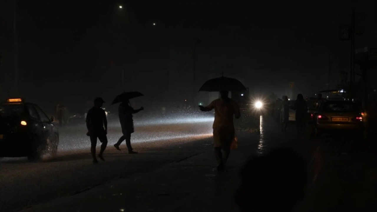
India sits right where the Indian Ocean, Arabian Sea, and Bay of Bengal meet, making it a hotspot for cyclonic activity. When a cyclonic system moves inland, it drags a lot of moisture with it. That moisture falls as heavy rain, often turning into flash floods or water‑logged roads, like the recent floods in Madhya Pradesh.
During the monsoon, cyclonic circulations act like boosters. They can intensify the rains over the north‑central plains, push cooler breezes into the deserts, and even affect temperature swings. That’s why a single cyclonic spin can change the weather for hundreds of kilometers.
Keeping an eye on cyclonic circulation helps you plan ahead. The India Meteorological Department (IMD) uses satellite images and radar to track these spins. When they issue a yellow, orange, or red alert, it usually means a cyclonic system is getting close and could bring strong winds, heavy rain, or both.
Here are a few practical steps to stay prepared:
- Check the IMIM’s daily weather outlook for your region.
- Watch for alerts on your phone or local news – they often mention “cyclonic circulation” when a system is moving your way.
- If you’re near a coast, keep emergency kits ready: flashlights, batteries, clean water, and essential medicines.
- Avoid low‑lying areas and riverbanks during heavy rain. Even a short flash flood can be dangerous.
- Stay indoors when wind speeds reach 30 km/h or higher, as debris can become a hazard.
By knowing what cyclonic circulation looks like and how it behaves, you can read the signs before the storm hits. Whether it’s a gentle drizzle or a full‑blown cyclone, a little awareness goes a long way in keeping you and your family safe.
So next time the weather forecast mentions “cyclonic circulation,” you’ll know it’s not just a fancy term – it’s the reason behind the rain, the wind, and the changes you feel outside. Stay tuned, stay prepared, and let the science work for you.