IMD Forecast – What’s Happening Across India Right Now
India’s weather can flip from scorching heat to sudden downpours, and the Indian Meteorological Department (IMD) is the agency that watches it all. Every time the IMD releases a forecast, it’s a heads‑up for commuters, farmers, and anyone who steps outside. Below you’ll find the most recent alerts, what they mean for you, and easy steps to stay safe.
Recent Alerts and What They Mean
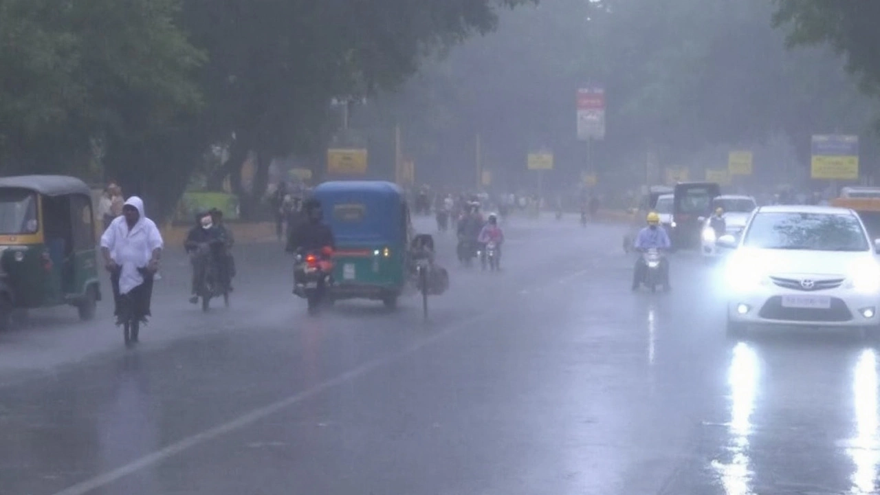
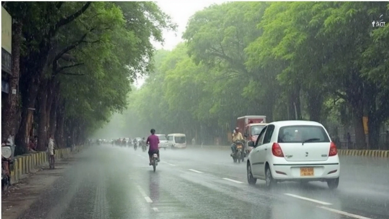
On August 27 the IMD warned that Delhi‑NCR would see temperatures above 35 °C with high humidity, plus a chance of scattered showers. The same system is expected to bring 30 mm of rain to parts of Uttar Pradesh and Rajasthan on August 28. In practical terms, expect sticky evenings, possible traffic jams, and a higher chance of heat‑related illness.
Just a few days later a red alert hit Noida after heavy rain dumped more than 25 mm in a few hours. Streets flooded, power cuts rolled out, and the flood control room was swamped with calls. If you live in or travel through Noida, plan extra time for commuting and keep an eye on local water‑logging updates.
The IMD also put an orange alert on several districts in Madhya Pradesh as the Narmada River overflowed. Villages around Dindori and Satna were cut off, and rescue teams are on the ground. An orange alert signals high‑risk conditions – don’t attempt to cross flooded roads and follow instructions from authorities.
North India as a whole is under a broad heavy‑rain warning covering Delhi‑NCR, UP, Punjab, Jammu & Kashmir, Himachal, and even Uttarakhand. The warning mentions landslide danger in Uttarkashi after the soil became saturated. If you’re heading to the hills, check road closures and carry extra supplies.
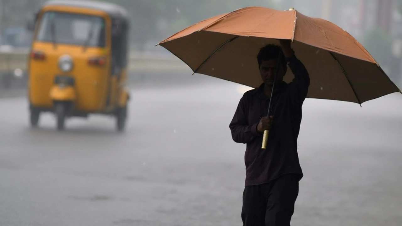
These alerts illustrate how the IMD tailors its forecasts to local conditions. A “yellow” warning means rain is possible, but not yet dangerous. “Orange” means the situation could turn risky, and “red” is a severe event that may cause damage.
How to Stay Safe When IMD Issues a Warning
First, keep the forecast handy. A quick glance at the IMD website or a trusted news app can tell you whether you need an umbrella or a cooler. Subscribe to SMS alerts if you’re in a flood‑prone area – they’re faster than checking the news every hour.
During heat spikes, stay hydrated, wear light clothing, and avoid outdoor work between 11 am and 4 pm. If you’re on a long drive, carry water and plan stops in shady areas. Heat‑related illnesses show up as dizziness, nausea, or rapid heartbeat, so act fast.
When rain warnings turn orange or red, move valuables off the ground and secure loose items outside your home. If you hear a siren or get a call from local disaster teams, follow evacuation routes; don’t try to drive through water deeper than your vehicle’s wheels.
Farmers can use the forecast to schedule sowing or harvesting. A short window of rain can help crops, but a prolonged downpour may damage seedlings. Check the IMD’s agricultural advisories for region‑specific tips.
Finally, share reliable information with family and neighbors. Rumors spread quickly during weather events, but an accurate IMD forecast cuts the panic. A quick text with the current alert level can help everyone make better decisions.
Staying ahead of the weather isn’t about fearing the forecast; it’s about using the IMD’s data to plan your day. Whether you’re heading to work, tending a field, or just planning a weekend outing, a few minutes of checking the latest forecast can keep you safe and on schedule.